
Simpson Bay history in the village today
Simpson Bay history begins with the relationship between the settlement, the sea and the lagoon. The area developed from a smaller fishing village into a place with accommodation, restaurants, marinas and water sports. Fishing is still part of the present: the Simpson Bay Fish Market continues that connection. Look at the village as a place with overlapping uses rather than as a historic quarter separate from modern activity.
The beach beside the village and airport faces a different setting from the lagoon marinas. Keeping those sides distinct helps explain the area before adding dates to it. The Simpson Bay overview introduces the present-day layout, while the beach guide follows the longer sandy shore. Neither needs to become a fixed historical walking route for the landscape to make sense.
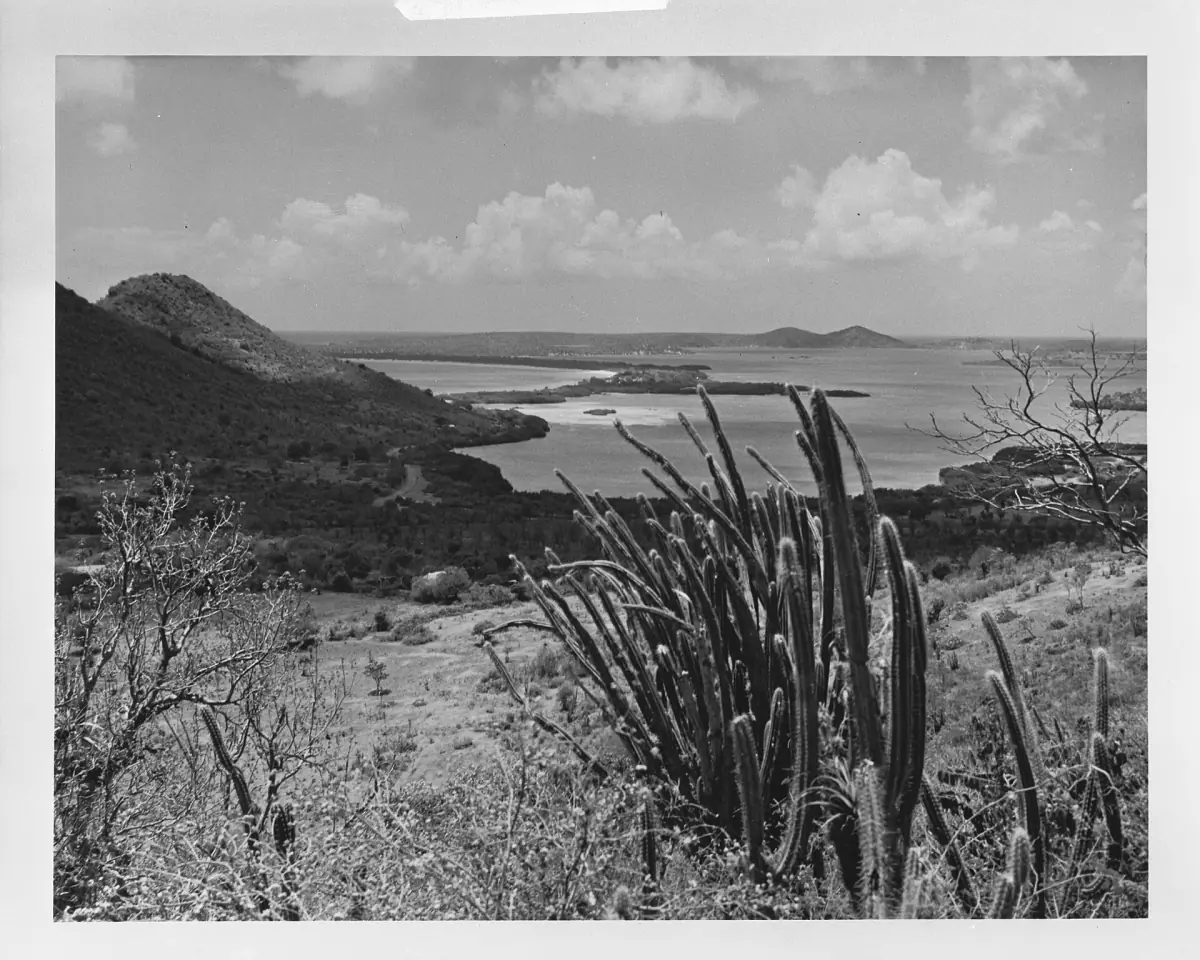
The land barrier, a ferry and an early bridge
An account of the local coastline records a storm breach of the natural land barrier in 1819. A ferry connection followed, and a bridge was built in the middle of the nineteenth century. These episodes describe earlier ways of crossing the lagoon entrance. They should be read separately from the installation of the modern bridge familiar to visitors today.
The sequence gives a useful way to understand the importance of the crossing: water access and movement over land are connected parts of the village setting. When looking towards the lagoon, distinguish that broad history from the operation of a particular bridge now. A historical date helps explain change; it does not provide a current navigation instruction or a road closure timetable.
Island history outing
This island excursion includes historical narration as you travel.
Hand-picked tours, booked through Viator. Prices are indicative starting prices in US dollars (as of November 2026). Tap a tour for live availability and the current price in your currency.
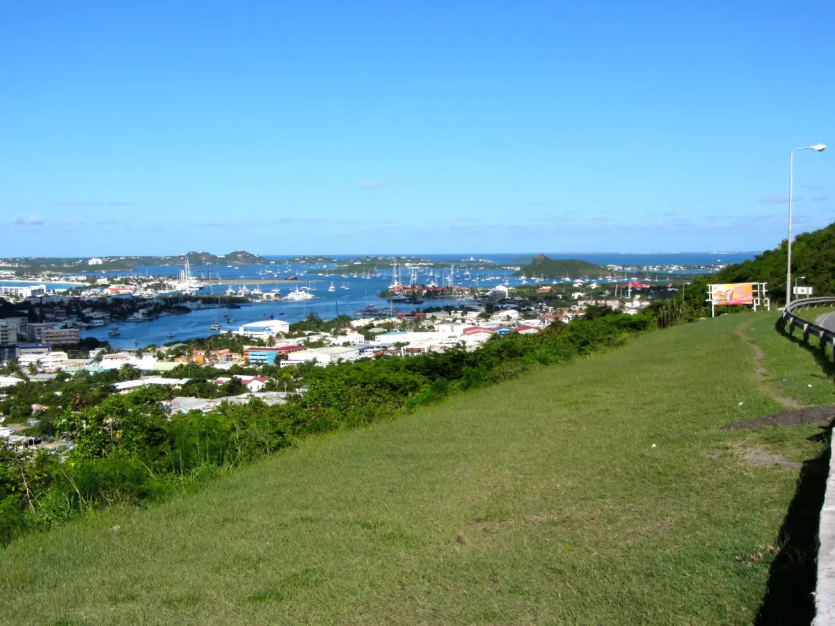
Island excursions with historical context
A scenic island outing with historical narration and return transfers offers a broader introduction alongside an independent look at Simpson Bay.
The airport milestones of 1942, 1943 and 1944
The airport’s history has several different beginnings. A military airfield dates to 1942. The first commercial flight followed in 1943, and Princess Juliana opened the airport for civilian use in 1944. These dates refer to separate events, so they tell a more precise story than choosing one year as the beginning of all aviation here.
Today the airport is Princess Juliana International Airport, on Airport Road in Simpson Bay. Maho Beach lies at the runway end, while Simpson Bay Beach follows the village and airport shore. The Maho guide explains aircraft watching and safety at that different beach. The airport’s historical role is useful context, but a visit beside an active runway calls for present-day care.
The modern bridge and the lagoon economy
The harbour authority dates installation of the modern Simpson Bay bridge to 1986. This is a different milestone from the nineteenth-century bridge. The opening at the sea entrance gives yachts access to the lagoon, and marinas form part of the area’s present economy alongside accommodation, dining and water-based activities.
The Simpson Bay bridge and the causeway are separate crossings. Keeping them apart matters when interpreting a map or arranging transport. Bridge movements are part of the practical setting of the lagoon, so leave flexibility in a journey instead of attaching an assumed closure length to the historical story. The transport page is the place to organise arrival and movement around the area.
Island division and the shared lagoon
The Treaty of Concordia in 1648 is associated with the island’s division between Dutch and French sides. Simpson Bay is in southern, Dutch Sint Maarten, while French Saint-Martin lies to the north. The boundary also crosses the lagoon, making the water part of both sides rather than a wholly Dutch feature.
Keep that distinction when reading about nearby places and onward routes. Historical division and present-day visitor arrangements are related subjects, but one does not replace the other. A boat excursion to another island needs its own planning. For local outings, the tour comparison separates choices by activity and starting point rather than treating the entire region as one departure area.
Currency changes and a historical outing
The current Dutch-side currency is the Caribbean Guilder, with code XCG and symbol Cg. It was introduced on 31 March 2025; ANG remained legal tender only until 30 June 2025. These currency changes belong to the modern story of Sint Maarten. The French side uses the euro as its main currency, so retain the currency shown for each separate service when planning costs.
For visitors who prefer to hear context while travelling, the island outing offered here includes historical narration, a scenic drive and return transfers. It is a broader island excursion rather than a specialist tour of Simpson Bay’s past. Choose it for that combination, or use the village, shore and lagoon as reference points for an independent visit without expecting a dedicated local history itinerary.
Frequently asked questions
Which year marks the start of the airport?
The military airfield dates to 1942, the first commercial flight to 1943 and the civilian opening by Princess Juliana to 1944. Each date describes a different event.
Is the present bridge the original village bridge?
The modern bridge was installed in 1986. The earlier local account describes a ferry after the 1819 breach and a bridge in the middle of the nineteenth century.
Is the lagoon entirely on the Dutch side?
The boundary between Sint Maarten and Saint-Martin crosses the lagoon. Its history and present geography therefore involve both sides.